

By Jones Gadama
In a groundbreaking achievement, the Malawi Ministry of Lands has successfully mapped the country’s landscape through aerial surveys, marking a significant milestone in the nation’s development.
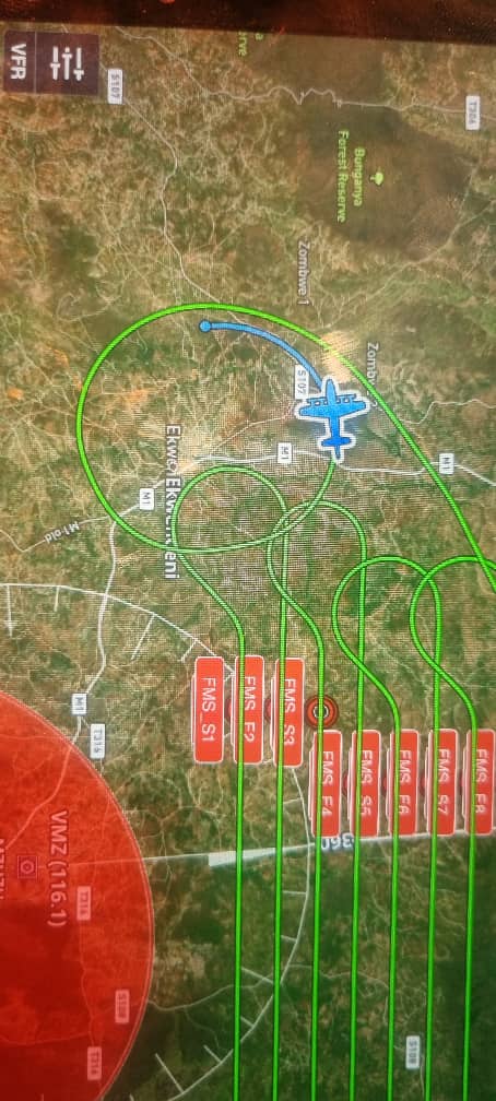
The Surveyor General, Masida Mbano, revealed that the department has captured high-quality images of the entire country with an impressive 5cm accuracy.
This feat was made possible through a collaborative effort with the United States Military Navy and the Department of Disaster and Management Affairs (DoDMA).
The aerial mapping initiative has far-reaching implications for Malawi’s development, enabling the country to better manage its resources, plan infrastructure projects, and respond to natural disasters.
The detailed images will facilitate disaster management, allowing authorities to assess damage and allocate resources effectively in response to floods, landslides, or other disasters.
Urban planners will also benefit from the maps, designing more efficient infrastructure, including roads, buildings, and public spaces.
Moreover, the maps will enable policymakers to study the country’s water resources, making informed decisions about water management and conservation.
Aerial mapping will also help define land boundaries, reducing conflicts and promoting more efficient land use.
The Surveyor General emphasized the importance of utilizing these services to avoid duplication of efforts, encouraging citizens and organizations to access the maps through the Malawi Spatial Data Platform.
This achievement builds on previous collaborations that have made topographic map series, city maps, nautical charts, and aerial imagery available.
As Malawi continues to harness the power of geospatial technology, the possibilities for development and growth are vast.
With high-resolution satellite images, the country can leverage these resources to drive progress and improve the lives of its citizens.
The Surveyor General’s appeal to citizens and organizations to utilize the services offered by the department highlights the importance of embracing technology to propel development.
By leveraging aerial mapping and geospatial technology, Malawi can unlock new opportunities for growth, improve resource management, and enhance the quality of life for its citizens.
As the country looks to the future, the successful implementation of aerial mapping serves as a testament to the potential of collaboration and innovation in driving progress.
With the Malawi Spatial Data Platform providing access to these valuable resources, the nation is poised to take significant strides in development, planning, and disaster management.
The Ministry of Lands’ achievement is a shining example of how technology can be harnessed to build a brighter future for Malawi.